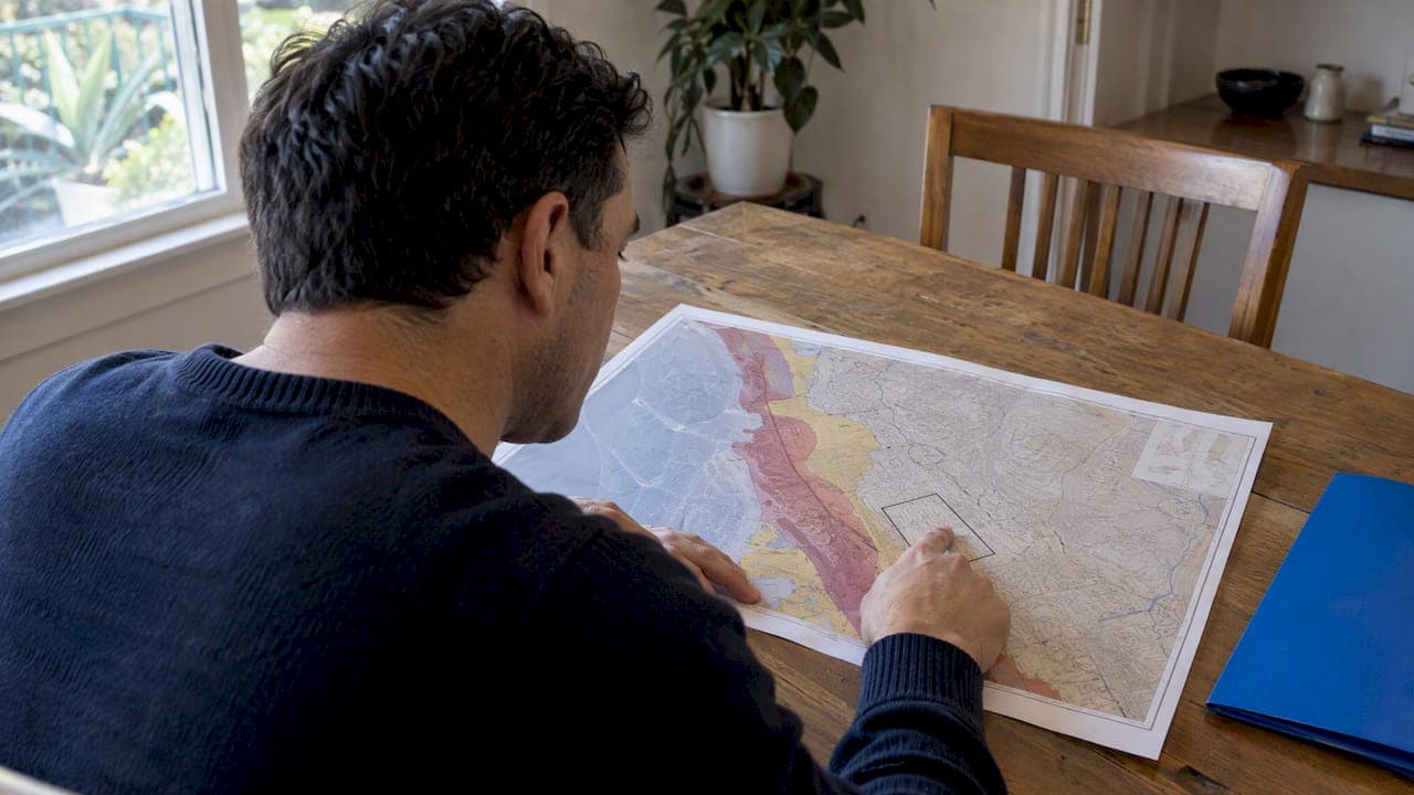
San Diego is covered by official Alquist-Priolo Earthquake Fault Zone maps and the City of San Diego Seismic Safety Study. The Rose Canyon Fault Zone is a documented local fault system, with onshore strands and splays that pass through San Diego. Start with the California Geological Survey EQZApp and the city's seismic safety map, then work outward.
TL;DR:
- Search the address in California Geological Survey EQZApp with the fault zone layer enabled, then compare the City Seismic Safety Study and relevant quadrangle maps.
- A parcel inside a mapped zone can require a geologic investigation before new construction or major remodeling; confirm local permit requirements before budgeting.
- Check separate map layers for liquefaction, earthquake induced landslides, and tsunami inundation; a property may face these hazards outside fault zones.
- No reliable fixed price discount applies to mapped parcels; compare sales on the same street, since buyer interest and negotiation effects vary by neighborhood.
- Before making an offer, request existing geologic reports, confirm disclosure requirements, obtain an earthquake insurance quote, and ask the lender what documentation it needs.
Table of Contents
- 1. Where are the mapped fault zones in and around San Diego?
- 2. How do you check whether a property sits inside a fault zone?
- 3. What does an Alquist-Priolo zone mean for homeowners, buyers, and sellers?
- 4. What other seismic hazards affect San Diego properties?
- 5. Which official resources and offices should you use?
- 6. How do fault zones affect property values and insurance premiums in San Diego?
- 7. How do fault zones affect home financing and mortgage approval?
- 8. What building codes and standards apply near fault zones?
- 9. How should buyers and sellers handle fault zones in a transaction?
- 10. What a San Diego agent actually checks before advising a buyer
- 11. How we help buyers and sellers who are weighing fault zones
- 12. FAQ
- Sources
1. Where are the mapped fault zones in and around San Diego?

The fault you will see most often on San Diego maps is the Rose Canyon Fault Zone. Its onshore strands run through La Jolla, Old Town, and Point Loma, and the California Geological Survey evaluated it in Fault Evaluation Report 265. That report covers the Point Loma and La Jolla quadrangles, documents onshore strands and splays that pass through the city, and recommends additional Alquist-Priolo zoning for parts of the zone.
Offshore faults are also part of the region's seismic setting. Check official geologic maps for information about specific offshore faults.
Two details matter when you read a map. Alquist-Priolo zones can include several splays and offshore continuations, so one fault name may show up as multiple lines. And city maps use geologic hazard categories to flag areas, so a parcel can be flagged for reasons other than a fault trace.
Here is what you are likely to see:
- Rose Canyon Fault Zone: documented onshore strands and splays pass through San Diego.
- Offshore faults: consult official geologic maps for mapped fault information.
- Local splays: the Rose Canyon Fault Zone report documents onshore strands and splays in San Diego.
- Hazard categories: the city's geologic hazard flags layered over the fault traces.
2. How do you check whether a property sits inside a fault zone?
You can investigate this using official tools. Work through the steps in order:
- Search the property address in the California Geological Survey EQZApp and turn on the Alquist-Priolo layer.
- Note whether the parcel falls inside a zone polygon, near its edge, or clear of it.
- Open the City of San Diego Seismic Safety Study and compare its hazard categories for the same location.
- Pull the relevant quadrangle PDFs, such as La Jolla or Point Loma, if the parcel is near a mapped strand.
- Read the City's public notice on the new and revised zones to see how the roughly 500-foot buffer practice and the disclosure rules apply.
- Call the city planning or building department before you plan any new construction or major remodel, because permit requirements are local.
If the maps place a property inside a zone, a site-specific geologic or fault study is commonly required before new construction or major remodels. The Seismic Safety Study's Geologic Hazards table lists when geotechnical investigation is required for hazards such as fault zones, landslides, and liquefaction.
Pro Tip: A mapped zone is not the same as a fault trace. Check the official maps and consult a geologist to understand how a particular parcel relates to the mapped hazard.
3. What does an Alquist-Priolo zone mean for homeowners, buyers, and sellers?
The California Geological Survey describes the purpose plainly: surface fault rupture can be identified and mitigated through setbacks, and the Alquist-Priolo zoning process is designed to prevent new construction atop active surface traces. The zoning process addresses new construction near active surface traces. Check with the city or a transaction professional about how the rules apply to an existing home or sale.
For a transaction, the practical points look like this:
- Disclosure: the City’s public notice describes disclosure requirements related to the mapped zones. Confirm how they apply to a specific transaction.
- Site studies: a mapped zone can trigger a site-specific fault investigation for proposed development.
- Mitigation: new development commonly deals with the hazard through setbacks and geologic reports.
- Existing homes: a house inside a zone is not automatically barred from sale.
- Timeline and cost: required reports and extra disclosure review can add time and expense to a sale or a building project.
None of this is legal advice. It is the framework you should understand before you make an offer or list a home, and your transaction attorney or the city can confirm how it applies to a specific parcel.
4. What other seismic hazards affect San Diego properties?
Fault rupture gets the attention, but it is only one part of the picture. The California Seismic Hazards Program covers ground shaking, soil liquefaction, earthquake-induced landslides, and potential tsunami inundation, and each of these has its own map layer.
For most homes, strong shaking rather than ground rupture is the main way an earthquake causes damage, and Southern California's dense, interconnected network of active faults means shaking can reach a property from many directions. Distance from a mapped fault is only one factor; local soil conditions strongly affect how a property experiences it.
What to check beyond the fault-zone layer:
- Liquefaction: loose, saturated soils can lose strength during shaking, so check the liquefaction layer separately.
- Landslides and bluffs: earthquake-induced landslide and bluff hazards appear as their own layers.
- Tsunami inundation: California completed tsunami hazard area mapping for San Diego County, modeling both distant sources and potential local sources.
- Different maps, different questions: a tsunami map shows where water could reach, while a fault-zone map shows where the ground could rupture. A home can be flagged on one and clear on the other.
5. Which official resources and offices should you use?
Bookmark a short list and use it every time. The California Geological Survey's EQZApp and its Department of Conservation map server host the regulatory maps, with layers for Alquist-Priolo zones, tsunami hazard areas, liquefaction, and fault activity. The City of San Diego Seismic Safety Study supplies the city's geologic hazard categories, and Fault Evaluation Report 265 is the key local document for the Rose Canyon strands.
- CGS EQZApp and regulatory maps: Alquist-Priolo zones, tsunami layers, and liquefaction.
- City Seismic Safety Study: zoning-style hazard maps and the geotechnical requirements table.
- Fault Evaluation Report 265: the technical basis for Rose Canyon zoning in Point Loma and La Jolla.
- A California-licensed geologist: for any parcel inside or touching a zone where you plan to build, expand, or dig deeply.
- The city permit office: to confirm which reports a specific project needs.
6. How do fault zones affect property values and insurance premiums in San Diego?
We are not going to hand you a percentage discount, because no source we trust publishes one for San Diego, and anyone quoting a flat number is guessing. What we can describe is how value is shaped in practice. A parcel inside a mapped zone carries extra disclosure, and a buyer may reasonably ask what a geologic study would cost and how it could limit an addition or rebuild. Those unknowns tend to show up in negotiation more than in a published price chart.
Location matters too. In a neighborhood where most homes are outside the zone, a flagged parcel may draw fewer offers or longer showings. Where homes inside a zone already trade routinely, the effect can be modest. Comparable sales on the same street are the best evidence.
Insurance is a separate question. Ask an insurer what earthquake damage your homeowners policy covers and what separate coverage options are available. Our guide on whether to buy earthquake insurance in San Diego walks through the decision. Ask for quotes before you commit to a purchase, because an address inside a mapped zone is exactly the kind of detail an insurer will want to know about.
7. How do fault zones affect home financing and mortgage approval?
Ask your lender how a mapped fault zone could affect financing for the specific property. What it can change is the paperwork and the questions your lender asks. Lenders care about the value and condition of the collateral, so anything that clouds either one gets attention.
Here is where friction can appear. A lender may ask questions about the property’s condition, disclosures, or geologic studies. Ask your lender what documentation it needs and how any required study could affect the financing process.
Practical steps help. Tell your loan officer early that the property is in or near a mapped zone, and ask what documentation they expect. Confirm with your lender which insurance coverages it requires for the property. Allow time for any required report within your contingency periods, and confirm applicable deadlines with your transaction professionals. A lender, not an agent, makes the final call on any specific loan, so get their answer in writing for your file.
8. What building codes and standards apply near fault zones?
Two layers apply. The state layer is the Alquist-Priolo process: development in a mapped zone is evaluated for surface fault rupture, and setbacks keep new structures off active traces. The local layer is the City of San Diego's permit process, which uses the Seismic Safety Study to decide when a geotechnical investigation is needed for hazards including fault zones, landslides, and liquefaction.

For an owner, requirements depend on the parcel and project. The City’s Seismic Safety Study lists when geotechnical investigation is required for hazards including fault zones, landslides, and liquefaction. Ask the permit office which requirements apply to your project.
Because the rules turn on the specific parcel and project, the safest approach is to ask early. Bring the address, a rough scope of work, and your EQZApp results to the city's planning or building staff, and ask exactly which reports and setbacks apply. A California-licensed geologist can then scope the study, and that cost belongs in your budget before you buy a fixer-upper in or near a mapped strand, not after.
9. How should buyers and sellers handle fault zones in a transaction?
Treat the zone as a fact to manage, not a secret to bury. Sellers should check the maps, disclose what applies, and gather any existing geologic reports, because a buyer who finds out late tends to renegotiate or walk. Our overview of real estate disclosure for San Diego buyers explains how disclosure works in this market.
Buyers have more leverage than they think when they ask the right questions early. Run the address through the EQZApp and the city map before you write an offer. Ask whether prior studies exist and request copies. Use your inspection and due diligence period to bring in a geologist if you plan to build. And ask your insurer for an earthquake quote so the carrying cost is in your numbers.
On price and terms, the strongest position is a documented one. A buyer with a study in hand can negotiate on facts. A seller with a clean report and clear disclosure can defend the asking price. If you are weighing a coastal listing, the same check-the-official-maps habit applies to water risk, as we explain in our guide to San Diego flood zone maps. Neither side should rely on guesses or on a neighbor's story about the street.

10. What a San Diego agent actually checks before advising a buyer
When I work with buyers and sellers, I open the CGS and City maps early, before anyone gets attached to a house. If a property appears in a zone, I review the disclosures with the client, and I recommend the right expert report before the contingency period runs out.
My view is that people can focus too much on the label and not enough on the details. A mapped zone is a reason to ask questions, and buyers should investigate it early in the process.
— Jeff
11. How we help buyers and sellers who are weighing fault zones
We help you turn a map result into a clear decision. We can verify hazard maps for a specific address, review seller disclosures with you, and coordinate geotechnical specialists when a property calls for one.
- Request a property-specific map check before you make an offer.
- Order a home valuation if you are selling or comparing options.
- Explore how we help you buy with confidence, from first showing to closing.
- Schedule a consultation to talk through your situation.
Reach out through our site and we will start with the maps.
12. FAQ
Where are the fault lines in San Diego?
The main one is the Rose Canyon Fault Zone, with onshore strands through La Jolla, Old Town, and Point Loma. The San Diego Trough Fault Zone lies offshore. The official Alquist-Priolo maps in the EQZApp show the regulated zones.
How far inland would a tsunami go in San Diego?
The distance depends on the source and the coastline, so there is no single answer. California's tsunami hazard maps for San Diego County show the modeled inundation areas for specific addresses. Check them separately from fault-zone maps.
Can you still buy a home inside an Alquist-Priolo zone?
A mapped zone does not by itself answer whether a particular sale or project has requirements. Check the applicable disclosure rules and ask the city whether proposed construction or remodeling requires a geologic study.
How do I find out if my address is in an earthquake fault zone?
Search your address in the California Geological Survey EQZApp with the Alquist-Priolo layer turned on, then compare the City of San Diego Seismic Safety Study map. Contact the city's building department to confirm what applies to your project.
Sources
- Fault Evaluation Report 265: The Rose Canyon Fault Zone in the Point Loma and La Jolla 7.5 Minute Quadrangles, San Diego County, CA
- The San Diego Seismic Safety Study | City of San Diego Official Website